
Page 60 - Valparaiso, IN U.S. 30 Corridor Plan
P. 60
Adopted July 25, 2011
This intersection is conceived as the city’s western gateway and urban/rural
edge for the foreseeable life of this plan. As such, it demands a high level
of attention to design in both new buildings and public amenities, as well as
strong public commitment in limiting development westward beyond this point.
Fortunately, much of the land near the intersection remains un(der)developed
in larger parcels presenting an opportunity for new mixed-use, master-planned
development at a scale not possible elsewhere in the corridor. The city’s main
role in bringing about this opportunity (besides extending basic services) is
through the exercise of its zoning, annexation, and extraterritorial planning/
Western Gateway zoning powers.
The concept plan shown on the following page does not attempt to dictate the
PLAN SEGMENT exact combination or arrangement of future land uses, so much as to demand
adherence to a few basic planning principles to assure quality, site-responsive
development. Similar to what is proposed herein for the Sturdy Road and
Washington Street intersections, this intersection should strive for a strong
“4-corner” orientation with landmark quality, corner buildings framing the
intersection. Although some front-lot parking may allowed along the Highway
30 side, most of the parking should be behind the front rows of buildings.
Heavy landscape treatments and ornamental features are needed to mark the
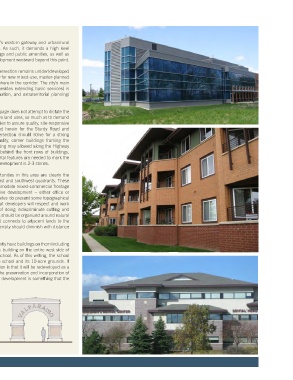
arrival into the City. The general scale of development is 2-3 stories.
The most immediate development opportunities in this area are clearly the
larger undeveloped parcels in the southeast and southwest quadrants. These
sites are large and deep enough to accommodate mixed-commercial frontage
and a significant amount of less intensive development – either office or
residential – in the interior portions. The sites do present some topographical
challenges however and it is expected that developers will respect and work
around many of these features instead of doing indiscriminate cutting and
filling. Development of the interior portions should be organized around natural
features and a through road network that connects to adjacent lands to the
east and west. Generally, development intensity should diminish with distance
from the highway.
The northeast and northwest corners currently have buildings on them including
(on the northeast corner) the only historic building on the entire west side of
the corridor, the original Hayes Leonard school. As of this writing, the school
district has not decided the future of the school and its 10-acre grounds. If
the site does come available, the expectation is that it will be redeveloped as a
landmark-quality “cornerpiece” project. The preservation and incorporation of
the original schoolhouse in a new master development is something that the
city strongly encourages.
24